
Local Walks & Public Rights of Way
LOCAL WALKS
Northlew and Ashbury are criss-crossed by quiet lanes, public footpaths and bridleways, with far-reaching views across rolling farmland to Dartmoor. Here are some favourite walks on the doorstep and a little further afield. The village walking group also organises walks, including nature walks, through the year.
When you’re out and about, please follow the Countryside Code: leave gates as you find them, keep dogs under control around livestock, and take your litter home.
On your doorstep
A Walk from the Village Square
Northlew, East Kimber & Ashbury Circular
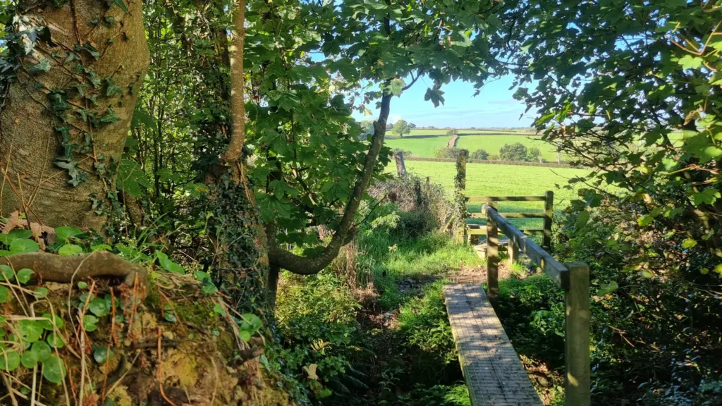
From the square, grassy paths lead across farm fields and wooden footbridges towards the tiny hamlet of Ashbury – past the site of the former manor house and Ashbury’s quiet, historic church – before looping back to Northlew along country lanes, with wide views across the fields to Dartmoor.
Distance: About 5.5km (3.3–4.5 miles, depending on route)
Time: 1 to 1½ hours
Difficulty: Moderate
Start: Northlew village square, near the Green Dragon and the primary school
Terrain & tips: Fields, grassy paths and lanes. Can be muddy and rough in wet weather – wear sturdy footwear, and look out for livestock in the fields.
Further afield
More Walks & Trails Nearby
Pegasus Trail
A waymarked multi-use route linking Dartmoor National Park at Meldon with Thorndon Cross, Beaworthy, Halwill Junction and Cookworthy Forest, crossing Ashbury Ridge along quiet lanes, bridleways, a disused railway line and forest tracks.
Length: About 15 miles (25km) in total
Views: Sweeping vistas of Dartmoor, Exmoor and Bodmin Moor from Ashbury Ridge
Parking: Meldon Reservoir and Cookworthy Forest
Cookworthy Forest
Waymarked, family-friendly circuits on easy-going forest tracks, through shaded woodland with plenty of opportunities for spotting wildlife.
Length: Circuits of around 2¼ to 4¼ miles
Time: 1½ to 2 hours
Difficulty: Easy
Abbeyford Woods & Meeth Quarry
Abbeyford Woods, near Okehampton, offers woodland trails beside the River Okement. Near Meeth, the Devon Wildlife Trust’s Meeth Quarry nature reserve has colour-coded paths around former clay-pit lakes and woodland, and links to the long-distance Tarka Trail.
Good for: Riverside and woodland walks, wildlife and longer days out on the Tarka Trail
PUBLIC RIGHTS OF WAY
Devon County Council holds the definitive map – the legal record of public rights of way, including footpaths, bridleways and byways. To view the map, follow this link:
Devon County Council – Public Rights of Way Definitive MapIf you come across a problem on a public right of way – such as an overgrown path, a broken stile or gate, or an obstruction – you can report it directly to Devon County Council, or let the Parish Clerk know.
Report a problem with a public right of way Email the Parish ClerkThrough the Parish Paths Partnership (P3) scheme, Devon County Council works with parish councils, landowners and local volunteers to keep the rights of way network legally defined, properly maintained, well publicised and open for everyone to enjoy.
Devon Parish Paths Partnership (P3) Scheme